


OUTLET
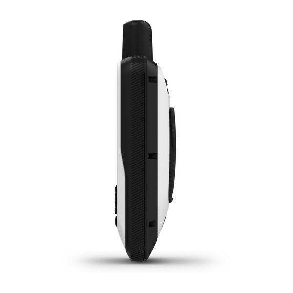
Garmin GPSMAP 86s
Save 13%
Out of stock
Regular price
€349,00 EUR
VAT included
Sale price
€349,00 EUR
VAT included
Regular price
€399,00 EUR
Questions about this product? Contact us
FAQ
When does the delivery take place?
Delivery times vary depending on the country and destination postal code. They will be shown at checkout and apply only to products currently in stock.
In some cases, the indicated stock includes items stored in external warehouses, and order processing may take up to 4 working days before shipping.
For products marked as Not in stock, processing may take between 5 and 15 days. If delays occur, our customer service will contact you with timely updates.
What are the warranty terms?
All our products come with a 24-month legal warranty. Some brands provide extended warranty. Contact us for more info.
Click here for more information.
Can I return a product?
You have the right to return a product within 14 days from delivery, as stated in our Refund Policy. Return shipping costs are the responsibility of the customer. Items must be returned in their original condition and packaging. Please contact us before returning.
B2B
Sei un'azienda? Compila il modulo per la fatturazione
Clicca sul pulsante qui sotto per inserire i tuoi dati aziendali:
Vai al modulo
MPN
: 010-02235-01
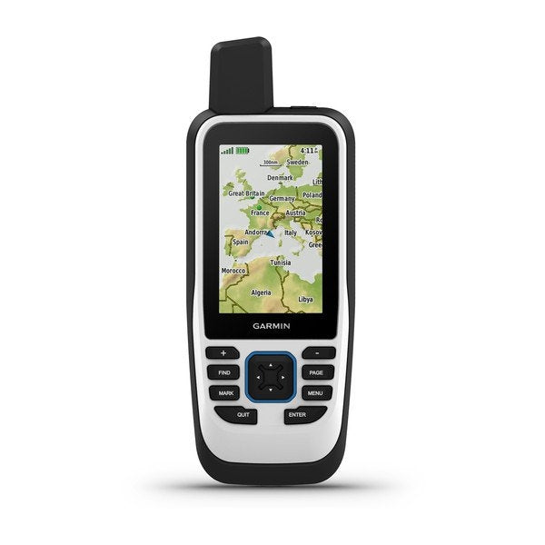
Garmin GPSMAP® 86s – Handheld Marine GPS Device
The Garmin GPSMAP® 86s is the perfect companion for sailors, anglers, and cruisers who demand safety and control on the water. This floating handheld device features a 3” color display, advanced marine functions, and wireless connectivity, making it a powerful extension of your onboard navigation system.
Advanced Navigation Performance
Equipped with a bright TFT color display, high-sensitivity GPS, and a worldwide basemap, the GPSMAP® 86s also supports BlueChart® g3 coastal charts with Garmin and Navionics® integrated data. Detailed bathymetry down to 0.3 m provides optimized fishing maps and precise visualization of harbors, channels, and structures.
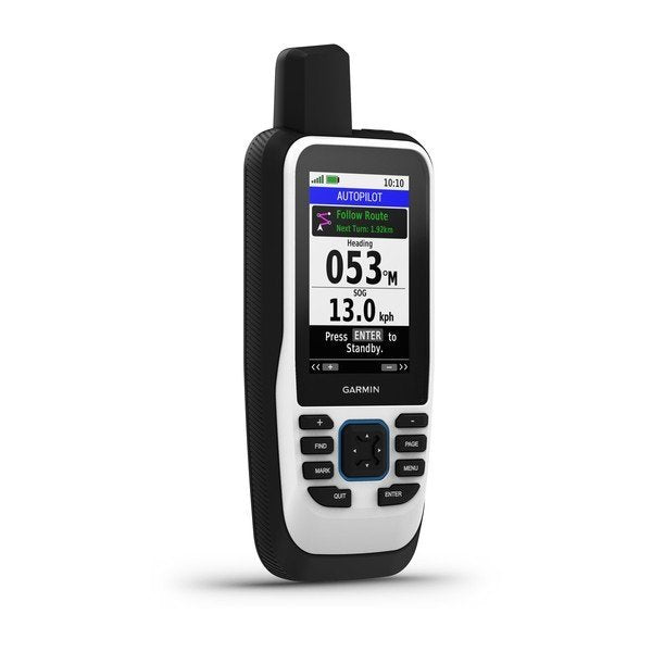
Seamless Boat Integration
Sync the GPSMAP® 86s with compatible Garmin chartplotters and instruments to view real-time boat data directly on the handheld device. Control your autopilot, manage FUSION® audio systems, and monitor essential navigation information at a glance.
Stay Connected Anywhere
Pair it with your compatible smartphone to receive Smart Notifications. Sync with the Garmin Explore™ app for cloud-based management of waypoints, tracks, and routes. With Wi-Fi®, ANT+®, and Bluetooth® support, updates and wireless connections are fast and reliable.
Built for Reliability
Rugged and IPX7 water-resistant, the GPSMAP® 86s ensures performance in harsh marine environments. Its rechargeable lithium battery provides up to 40 hours of runtime (tracking every 10 minutes) or up to 200 hours in expedition mode. The adjustable GPS filter stabilizes speed and heading readings even in rough seas.
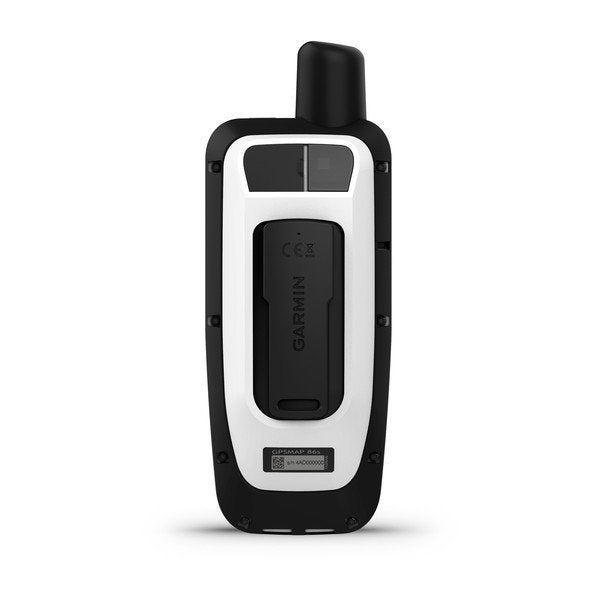
Box Contents
- GPSMAP® 86s handheld with worldwide basemap
- Wrist strap
- Micro USB charging cable
- Documentation
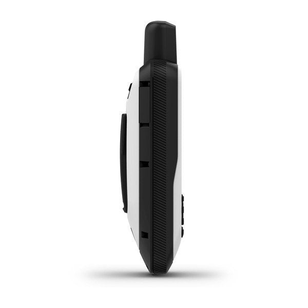
Technical Specifications – Garmin GPSMAP® 86s
| Dimensions | 6.75 x 17.8 x 4.4 cm |
| Display | 3" TFT color (240 x 400 px) |
| Weight | 272 g |
| Battery | Rechargeable lithium-ion |
| Battery Life | Up to 40 hrs (tracking 10 min) / 200 hrs (expedition mode) |
| Waterproof | IPX7 |
| Memory | 16 GB + microSD™ card slot |
| Waypoints | 10,000 |
| Routes | 250 |
| Tracks | 20,000 points / 250 saved GPX tracks |
| Sensors | Barometric altimeter, 3-axis compass with tilt compensation |
| Outdoor Features | Geocaching, area calculation, hunt/fish calendar, sun & moon data, image viewer |
| Connectivity | Wi-Fi®, ANT+®, Bluetooth®, NMEA 0183, USB High-Speed |
| Compatibility | Garmin Connect™, Garmin Explore™ |
| Mapping | Worldwide basemap + BlueChart® g3 support |
| Warranty | 2 years |
